top of page
IMG-20230622-WA0009_edited.jpg

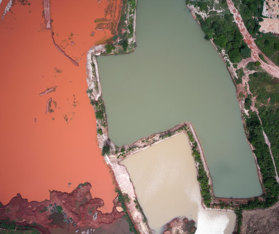
Drone Aerial Imagery
 

123653579_153117836514473_3542549292474016416_n.png

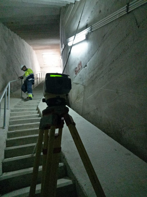
Topographic/Cadastral  Surveys

Bathymetric 2.jpg

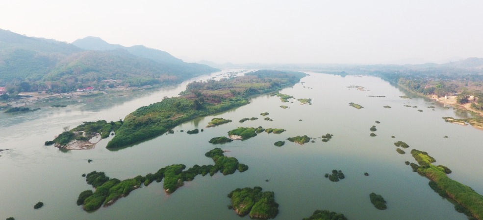
Bathymetric  Surveys
 

20201127_154559.jpg

Extraordinary Services
 

OTT2_edited.jpg

Hydrology & Meteorology

IMGP0278.jpg

Office Data Services
 

WhatsApp Image 2021-08-16 at 3.45.42 PM.jpeg

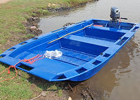
Boat Supplies
 

176207123_5726326344052128_7141883462215758896_n.jpg

Satellite Imagery
 

Aerial, Drone, Photogragh, Survey, Laos Company
Hydrology, Meteorology, Survey, Laos Company
Aerial, Drone, Survey, Laos Company

Vientiane GEOMATIC Services

One of the most experienced survey companies in Lao PDR, with more than 24 years of experience in Laos and the Region, providing Survey services for hundreds of projects. Providing more survey, mapping, Hydrology, Meteorology, and Aerial drone and mapping services than any other company in Laos. Performed survey services for more than 60 Hydro Power Projects in Laos including Survey services for all the major Mining Companies.

04

OUR PARTNERS

05

OUR CONSULTANTS

06

Sample of Our Works

07

CONTACT US

bottom of page